New study reveals ‘unusual variations’ in sea level in Lanzarote
- 06-02-2025
- Lanzarote
- Canarian Weekly
- Photo Credit: DA
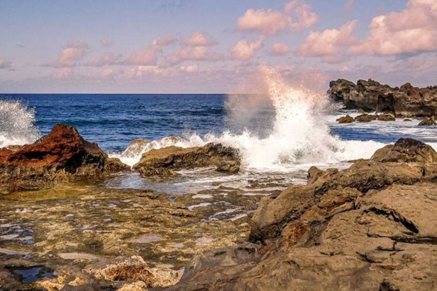
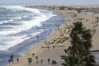
A recent study conducted by the Lanzarote Geosciences Laboratory has identified peculiar variations in sea level on the island.
The research, based on tide gauge data, aims to provide a clearer understanding of how climate change is affecting island coastlines, according to the Institute of Geosciences (IGEO), which operates under the Ministry of Science, Innovation, and Universities.
This study is crucial in assessing how spatial and temporal climate variability impacts sea level changes over annual and decadal timescales. To ensure accuracy, researchers applied standard corrections to account for ocean tides, atmospheric dynamics, and interannual and seasonal fluctuations in the observed time series.
Additionally, researchers examined correlations between sea level changes and key climatic factors such as sea surface temperature, solar activity, and the North Atlantic Oscillation (NAO), using wavelet coherence and cross-wavelet analysis techniques.
A linear regression analysis was also conducted to model sea level changes based on sea surface temperature, incorporating periodic components to project future variations.
Monitoring Ground Movement
Beyond tide gauge measurements, a GNSS station was used to track vertical ground displacement. After filtering out tidal and non-tidal influences, the study identified a long-term trend indicating an annual sea level rise of 0.33 ± 0.06 cm/year. Concurrently, the ground was found to be shifting upwards at a rate of 0.016 ± 0.003 cm/year between 2005 and 2023.
These findings are particularly significant as they offer insights into the complex interactions between oceanographic and geological processes. Understanding such changes is essential for developing strategies to mitigate coastal risks associated with climate change, including rising sea levels and increased coastal erosion.
Other articles that may interest you...
Trending
Most Read Articles
Featured Videos
A Vision of Elvis Tenerife Promo
- 10-05-2025
TEAs 2025 Highlights
- 17-11-2025


