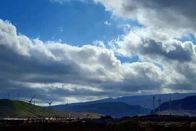
AEMET forecast rain, wind, and calima this week in the Canary Islands
- 03-02-2025
- National
- Canarian Weekly
- Photo Credit: CW
A new Atlantic front has been affecting the Canary Islands since Sunday, bringing rain across much of the archipelago, particularly in Tenerife and the western islands, and strong winds, especially at higher altitudes.
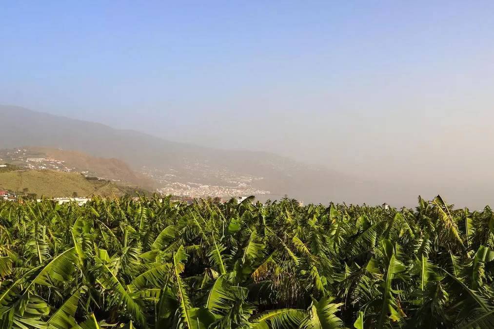
According to the Spanish Meteorological Agency (AEMET), this unsettled weather will persist until at least today, Monday, when rainfall will become more scattered, mainly affecting La Palma, Tenerife, Gran Canaria, and El Hierro. By then, a calima (Saharan dust haze) is also expected to return.
Weather forecast for the next few days:
Monday, 3rd February:
- Cloudy skies in the north of the larger islands, with light rain that may be moderate in higher areas, particularly in Gran Canaria.
- Rainfall will ease in the afternoon, with clearer skies developing.
- Partly cloudy to clear conditions elsewhere, with a low chance of occasional drizzle in the easternmost islands (Lanzarote and Fuerteventura).
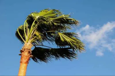
- Moderate trade winds, with stronger gusts in southeast and northwest areas and at high altitudes in Gran Canaria and La Gomera.
- Temperature range: 17°C - 22°C
Tuesday, 4th February
- Partly cloudy skies overall, but with cloudier conditions in the north of the larger islands.
- Low chance of light and occasional rain in these northern areas.
- Temperatures will remain stable or slightly decrease.
- Moderate northeast winds, with stronger gusts in southeast and northwest areas of the larger islands, and by the evening in higher areas of La Gomera and southwest La Palma.
- Temperature range: 16°C - 22°C
Wednesday, 5th February
- Cloudy skies in the north, with a low chance of weak, occasional rain in the morning, clearing in the afternoon.
- Elsewhere, partly cloudy, clearing by midday.
- Light calima (Saharan dust) may reach the eastern islands in the evening.
- Moderate northeast winds, with stronger gusts in northwest and southeast areas. Winds will shift to an easterly direction at mid-altitudes and higher elevations later in the day.
- Temperature range: 16°C - 21°C
Thursday, 6th February
- Partly cloudy conditions in the north of the larger islands, with clearer skies at midday.
- Elsewhere, mostly clear with some high clouds.
- Calima will be more pronounced, particularly in the eastern islands and southern slopes of the others.
- Minimum temperatures unchanged, while maximum temperatures may rise slightly, particularly at mid-altitudes and high elevations in the central islands.
- Moderate winds: northeast winds along the coasts, shifting to easterly in mid-altitude and high-altitude areas.
- Temperature range: 17°C - 22°C
Weather Summary
The next few days will see a mix of rain, wind, and Saharan dust, with stronger winds in high-altitude areas and persistent cool temperatures. Rainfall will be more common in the north of the larger islands, while calima will increase from Wednesday onwards, particularly in the eastern Canary Islands.
Other articles that may interest you...
Trending
Most Read Articles
Featured Videos
TributoFest: Michael Buble promo 14.02.2026
- 30-01-2026
TEAs 2025 Highlights
- 17-11-2025


