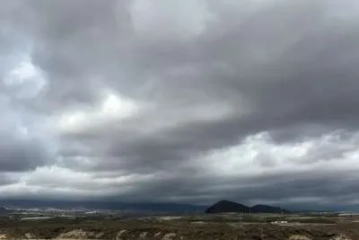
After a calm day the rains will return to Tenerife from today
- 09-12-2022
- National
- AEMET .
Yesterday saw the calm after the storm in Tenerife and La Palma, but the break in the rain will only be for a short time as they are expected to return to the islands today. La Palma is forecast to have the most rain again after having almost 100 litres/m2, followed by Granadilla and Buenavista del Norte.
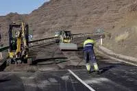
There were no notable incidents in the Canary Islands yesterday, apart from two outbreaks of fire in the south of Tenerife, which are both extinguished, and some manhole covers that sprung due to excess water from the rain in Playa Honda in Lanzarote and a mudslide on the LZ-201 highway.
Yesterday afternoon (Thursday) the General Directorate of Emergencies ended the weather warnings and pre-alerts for rain and storms in Lanzarote and Fuerteventura due to improved weather conditions, and for adverse sea conditions in all of the islands.
The most rain was recorded by AEMET in Las Tirajanas (20.4litres/m2) and in Cuevas del Pinar (19.4 litres/m2) both in the municipality of San Bartolomé de Tirajana in Gran Canaria yesterday.
Today, rain is forecast on the western slope of Tenerife with cloudy intervals, and occasional showers in the east are not ruled out this afternoon. There will be a light to moderate wind from the west, with strong gusts on the southwest coast, and breezes on the east and north coasts.
In Gran Canaria, there will also be cloudy intervals with scattered showers in the west and south of the island. Temperatures will remain the same with a slight increase in the maximum in high areas. Again there will be a light to moderate wind from the southwest, getting more intense on the northwest and southeast slopes, as well as on summits.
In the eastern islands, there will be cloudy intervals with abundant high clouds and some occasional and dispersed rain both in Lanzarote and Fuerteventura.
Other articles that may interest you...
Trending
Most Read Articles
Featured Videos
TributoFest: Michael Buble promo 14.02.2026
- 30-01-2026
TEAs 2025 Highlights
- 17-11-2025


