Abundant rains and more snow this week in the Canary Islands
- 09-01-2023
- National
- Canarian Weekly
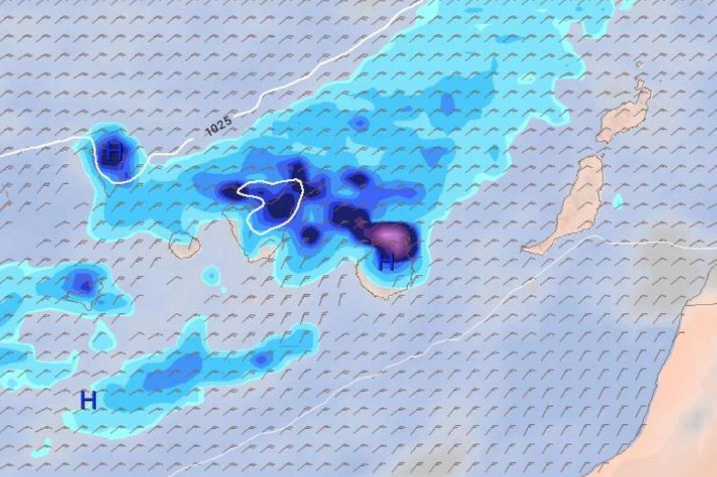
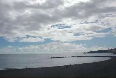
The Canary Islands have said goodbye to the Christmas, New Year, and Kings Day holidays with very stable weather of clear skies, light winds and high temperatures for the time of year. But this type of weather, more typical of spring, is to be marred this week by rain on almost all the islands, and more snow on the top of Teide, according to the forecast produced by the ECMWF (European Centre for Medium-Range Weather Forecasts).
According to their forecast, today (Monday January 9th) the stable weather will continue during the first half of the day, but some clouds will begin to appear in the eastern part of the Archipelago, in the north of Lanzarote this afternoon. With northeasterly winds, there is a strong probability of light rain in the east of Tenerife and the north of Gran Canaria later in the day.
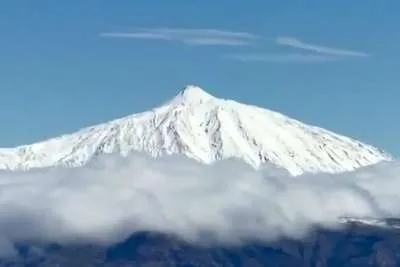
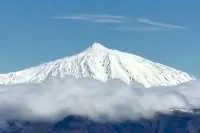
Tomorrow, Tuesday, precipitation in the east and northeast of Tenerife, east of La Palma, and south of Fuerteventura and Lanzarote is expected. These precipitations, late in the day, and early on Wednesday, may also be in the form of snow at the top of Teide, according to the same prediction model.
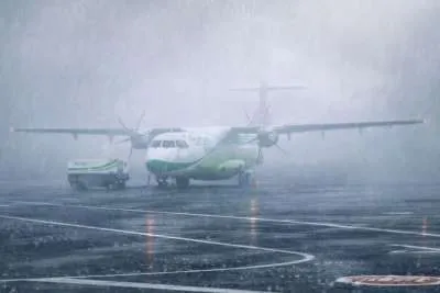
As the morning progresses, the rain will be more persistent on La Palma, especially on its northern and eastern slopes, where accumulated amounts of 10 millimetres of water per square metre are expected in six hours; and with less intensity, in the northeast of Tenerife and its metropolitan area, in Gran Canaria, and Fuerteventura.

During Wednesday afternoon, the accumulated rainfall will be higher in the centre and west of Tenerife, the centre and west of Gran Canaria (in both cases with more than 10mm/m2 in six hours), and slightly less in the northeast of La Palma. Later in the day, rainfall will also reach La Gomera and El Hierro.
By Thursday morning, the ECMWF says it will continue to rain in Gran Canaria, the east of La Palman and in the north of Lanzarote, but in less quantity. In the afternoon, the highest accumulations will occur in the north of Gran Canaria and in the northeast of La Palma, the latter once again exceeding 10mm/m2 in six hours. Rains are also expected in the metropolitan area and northeast of Tenerife (Anaga).
The heaviest rains this week will be on Friday the 13th.
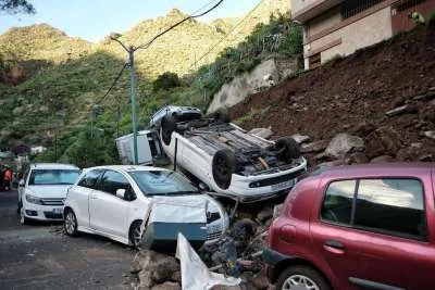
Friday will begin with significant rainfall in the north of Gran Canaria, of more than 30mm/m2 in six hours, and in Tenerife with more than 10mm in the metropolitan area, eastern and northern slopes of the island, especially in inland areas.
Similar rain will also be seen in La Palma, especially in the north of the island, but these rains will move towards the west, meaning the greatest amount of water will pass from Gran Canaria to Tenerife, and then to La Palma, on Friday evening and during the night.

This means the largest accumulated rainfall will occur in Tenerife on Friday night and Saturday morning, again on its eastern and northern slopes, and the metropolitan area. The rain will also affect La Palma, La Gomera, El Hierro and Gran Canaria in the early hours of the day, while no rain is expected in Lanzarote and Fuerteventura on Saturday.
During the afternoon, according to the European Centre for Medium-Range Weather Forecasts, the wind will move the cloud and rains towards the Atlantic, away from the islands leaving clearer weather behind.
Other articles that may interest you...
Trending
Most Read Articles
Featured Videos
TributoFest: Michael Buble promo 14.02.2026
- 30-01-2026
TEAs 2025 Highlights
- 17-11-2025


