
SUNDAY WEATHER: Storm Bruna bringing heavy rain and strong winds to the Canary Islands
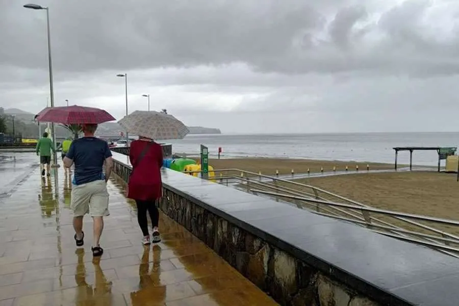
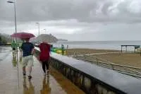
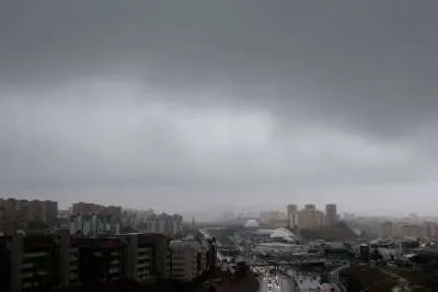
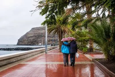
Storm Bruna is bringing a wet and windy Sunday to the Canary Islands, with heavy rain, thunderstorms and rough seas expected as a weather front moves across the archipelago.
The strongest rain warnings are active for Tenerife, Gran Canaria and the smaller western islands, although Lanzarote and Fuerteventura could also see heavy showers later in the day.
Residents and holidaymakers are being advised to check local restrictions before travelling, heading to the beach or taking part in outdoor activities. Conditions may change quickly, and not every area will be affected at the same time.
Orange warnings and government alerts
AEMET’s orange rain warning for Tenerife is scheduled from midnight until 6:00pm today, covering the north, metropolitan area and the eastern, southern and western slopes. In affected areas, up to 100mm of rain could accumulate over 12 hours.
In Gran Canaria, an orange rain warning is scheduled from midday until 11:59pm, covering the summits and eastern, southern and western areas. The warning threshold is 80mm over 12 hours.
These figures are warning thresholds for affected areas; they do not mean that every town or resort will receive that amount of rain.
Lanzarote and Fuerteventura have yellow warnings for rain and thunderstorms from midday as the front moves east.
Separately, the Canary Islands Government has declared alerts for rain and wind in Tenerife, Gran Canaria and the western islands, with pre-alerts for those conditions in Lanzarote and Fuerteventura. A coastal alert covers the whole archipelago, alongside pre-alerts for thunderstorms and flooding. These government alerts are separate from AEMET’s colour-coded weather warnings.
Today’s forecast for each of the islands:
TENERIFE
A cloudy and unsettled day is forecast across Tenerife, with heavy showers possible in the south, east and west. Some could be accompanied by thunderstorms and hail, while rain is expected to ease as the afternoon progresses.
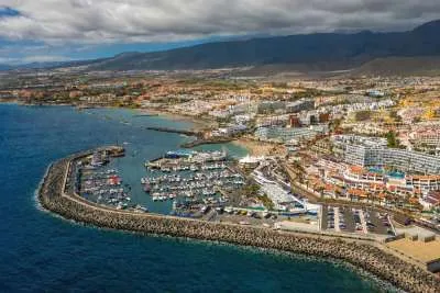
Costa Adeje, Los Cristianos and Playa de Las Américas are among the southern areas that could see heavy rain. Conditions could also be wet around Puerto de la Cruz and elsewhere in the north, although the intensity will vary. Forecast highs are around 24°C in Costa Adeje and 27°C in Puerto de la Cruz.
Southwesterly winds will be noticeable along the coast and much stronger at higher elevations, where gusts could exceed 100 km/h. Snow is also possible on the summit of Mount Teide.
Tenerife’s island emergency plan was activated at midnight, and restrictions are in place for some outdoor activities. Check local council and Cabildo announcements before setting out.
GRAN CANARIA
Gran Canaria is expected to become cloudier as the day goes on, with the greatest risk of heavy and persistent rain in the mountains and across the south and west.
Popular resort areas including Maspalomas, Playa del Inglés and Puerto Rico should prepare for a worsening forecast, particularly from midday onwards. Thunderstorms and hail are possible, while strong southwesterly winds could make conditions feel very different from a typical sunny Sunday.
Gusts could exceed 90 km/h in higher and exposed areas. Drivers should take particular care on mountain roads and avoid crossing flooded stretches. A reliable resort-specific temperature range was not available in the forecasts checked, so readers should check the latest local forecast before travelling.
LANZAROTE
Lanzarote may begin the day with periods of cloud before conditions become more unsettled as Bruna’s front reaches the eastern islands.
Showers could become locally heavy, especially later today, and there is a possibility of thunderstorms and hail. In Puerto del Carmen, the forecast is for around 23°C to 25°C; conditions in Costa Teguise and Playa Blanca may vary.
Southwesterly winds will be more noticeable in exposed northern areas. Although rain may be less persistent than on the mountainous western islands, short, intense downpours can still cause surface water and difficult driving conditions.
FUERTEVENTURA
Fuerteventura is also expected to see increasing cloud, with the chance of heavy showers and thunderstorms rising later in the day. Hail is possible where storms develop.
Residents and visitors in Corralejo, Caleta de Fuste, Costa Calma and Morro Jable should keep an eye on local updates, particularly if planning beach trips or outdoor excursions. A reliable resort-specific temperature range was not available in the forecasts checked.
Southwesterly winds are expected to be stronger in the north, while rough seas remain a concern around exposed coasts. Follow beach flags and any instructions from lifeguards or local authorities.
Looking ahead
Forecasters have indicated that conditions could improve on Monday and for part of Tuesday, although another period of unsettled weather is possible later in the week. The timing and intensity remain uncertain.
With warnings subject to change, residents and holidaymakers should check the latest AEMET and local authority updates throughout the day.
Share: