The maximum alert remains in place until at least Monday at 12.00pm
- 25-09-2022
- National
- Canarian Weekly
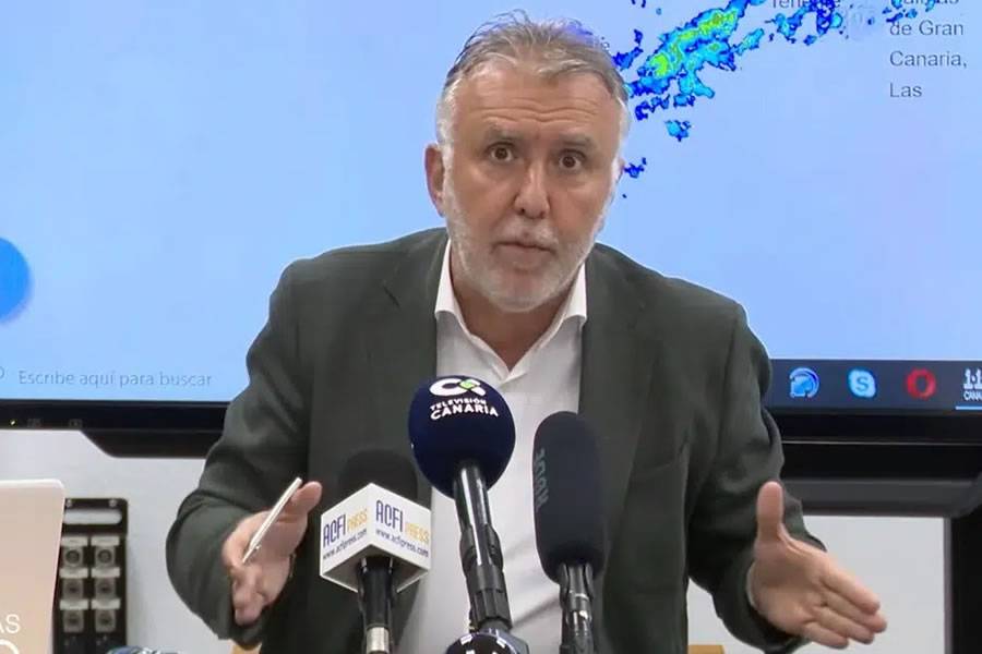
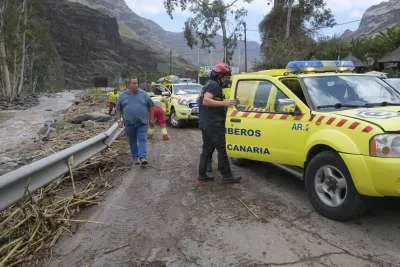
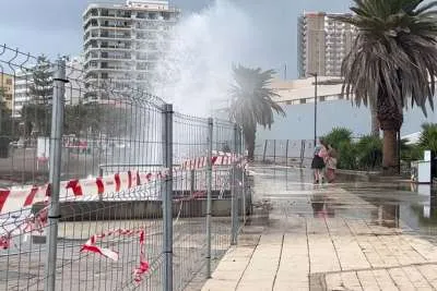
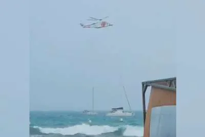
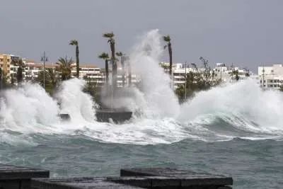
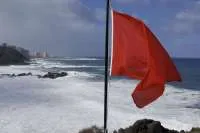
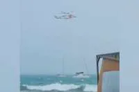
The President of the Canary Islands, Ángel Víctor Torres, has reiterated that it is important "not to let our guard down" because in the next few hours there may be "significant storms" in different parts of the Canary Islands.
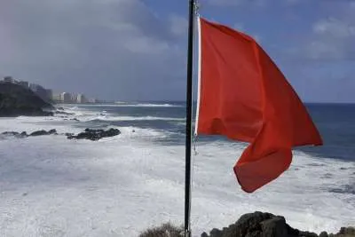
Torres has confirmed that the Canary Islands will continue to be on maximum alert until tomorrow at 12.00pm, and will then gradually lower the colour of the alert levels accordingly.
Tonight at midnight, La Gomera, El Hierro and the south, east and west of Gran Canaria will pass to orange level.
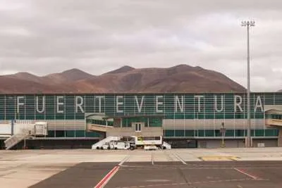
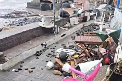
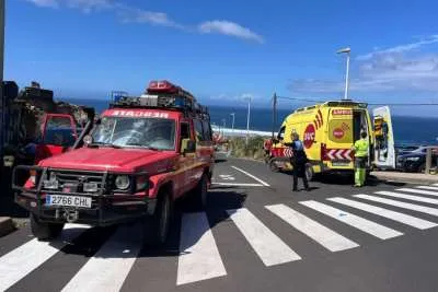
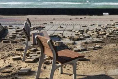
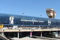
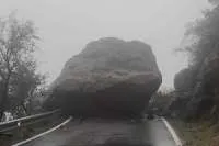
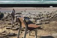
Torres has also celebrated not having to regret any personal injuries or loss of life, emphasizing that there has only been material damage due to the force of the rain as well as delays and cancellations at airports .
Gran Canaria has had the most rainfall this Sunday:
Gran Canaria is the island that is experiencing the most rainfall this Sunday, due to the effects of tropical storm Hermine, with records of more than 100 litres per square metre, as reported by AEMET.
Almost 113 litres/m2 have fallen in Teror in Gran Canaria, 108 in Valleseco; 105 in the neighbourhood of Tafira, in the upper area of Las Palmas de Gran Canaria; 103 in the neighbourhood of La Feria, also in the capital; 93 in Arucas, on the north coast; 90.5 in Tejeda, at the summit; 90.2 in the coastal neighbourhood of San Cristóbal in Las Palmas; 89 in San Mateo; and 88 in La Aldea, on the western slope of the island.
Güímar has had the highest rainfall in Tenerife, where the storm has discharged 97.4 litres/m2.
Other articles that may interest you...
Trending
Most Read Articles
Featured Videos
TributoFest: Michael Buble promo 14.02.2026
- 30-01-2026
TEAs 2025 Highlights
- 17-11-2025


