AEMET lifts weather alerts across the Canary Islands and warns of incoming haze
- 20-11-2024
- National
- AEMET .
- Photo Credit: Stock Image
Wednesday will begin with a sense of calm across the Canary Islands following the deactivation of weather warnings by the State Meteorological Agency (AEMET), however, they have warned of a light 'calima' coming in from the east.
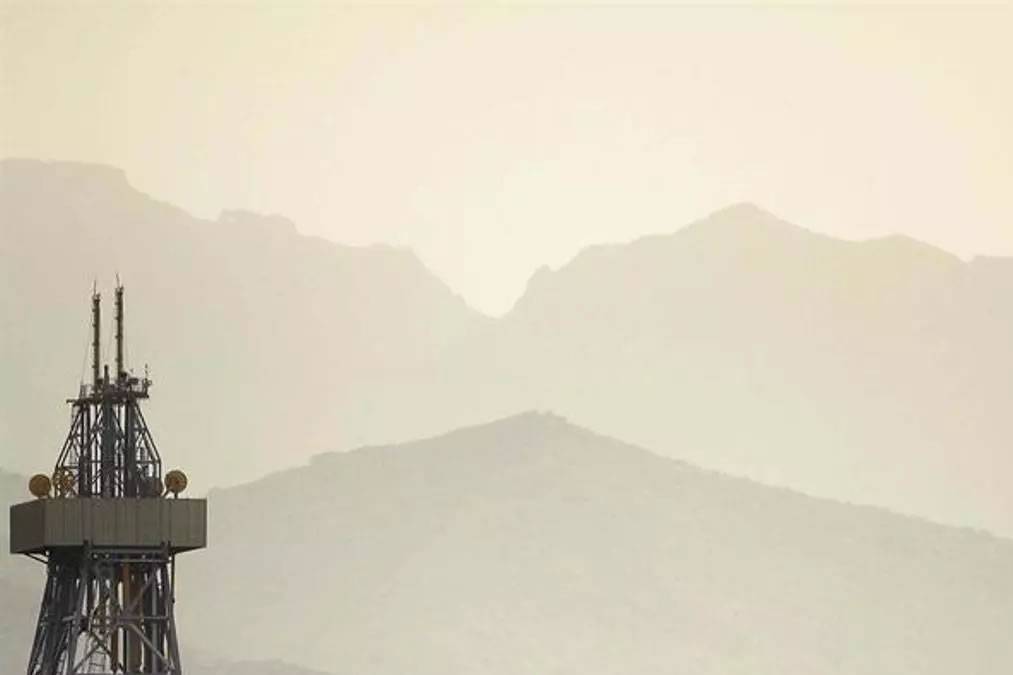
Calima is a typical regional weather phenomenon, a haze caused by dust particles carried by winds from the Sahara Desert. It comes in from the affecting Lanzarote and Fuerteventura first, before spreading west across the rest of the islands.
The general forecast for the Canary Islands indicates the presence of mid to high-level clouds. In the mountainous islands, these clouds could bring occasional rain to areas at higher altitudes.
The 'calima' will dominate much of the day reducing visibility and creating a slight feeling of stuffiness. Temperatures are expected to rise slightly to moderately, particularly the maximums, which will enhance the warm sensation.
Regarding winds, moderate easterly winds will prevail along the coasts, while in the central highlands and peaks, winds will intensify, especially on Mount Teide, where very strong gusts could occur around midday.
Island-Specific Forecasts
- Lanzarote: Dominated by mid to high-level clouds with light haze, which will intensify as the day goes on. Temperatures will range between 20°C and 25°C, accompanied by light to moderate easterly winds.
- Fuerteventura: Similar to Lanzarote, with cloudy intervals and haze. Temperatures will reach a high of 24°C, along with moderate winds.
- Gran Canaria: 'Calima' will be prominent alongside mid to high-level clouds. Temperatures will range from 21°C to 28°C, with a chance of rain in higher areas. Winds will be moderate, particularly in the central highlands and peaks.
- Tenerife: Light 'calima' with the possibility of occasional rain in elevated areas. On Mount Teide, wind gusts could become strong. Temperatures will vary between 20°C and 28°C.
- La Gomera: Mid to high-level clouds with light 'calima' during midday. High temperatures will reach up to 26°C, with moderate winds in the highlands and light breezes along the coasts.
- La Palma: Mid to high-level clouds with a low probability of rain in elevated areas. Temperatures will range from 18°C to 26°C. Winds will be moderate in the central regions and light along the coasts.
- El Hierro: Light 'calima' in the afternoon accompanied by mid to high-level clouds. Temperatures will peak at 22°C, with light to moderate winds.
Although the weather appears calm, the 'calima' will be the main phenomenon, affecting air quality and creating a warm atmosphere. It is important for people sensitive to airborne dust to take precautions, especially on the eastern and mountainous islands, where the impact can be more significant.
Other articles that may interest you...
Trending
Most Read Articles
Featured Videos
TributoFest: Michael Buble promo 14.02.2026
- 30-01-2026
TEAs 2025 Highlights
- 17-11-2025


