The heat wave will hit the Canary Islands from tomorrow
- 12-08-2021
- National
- Canarian Weekly
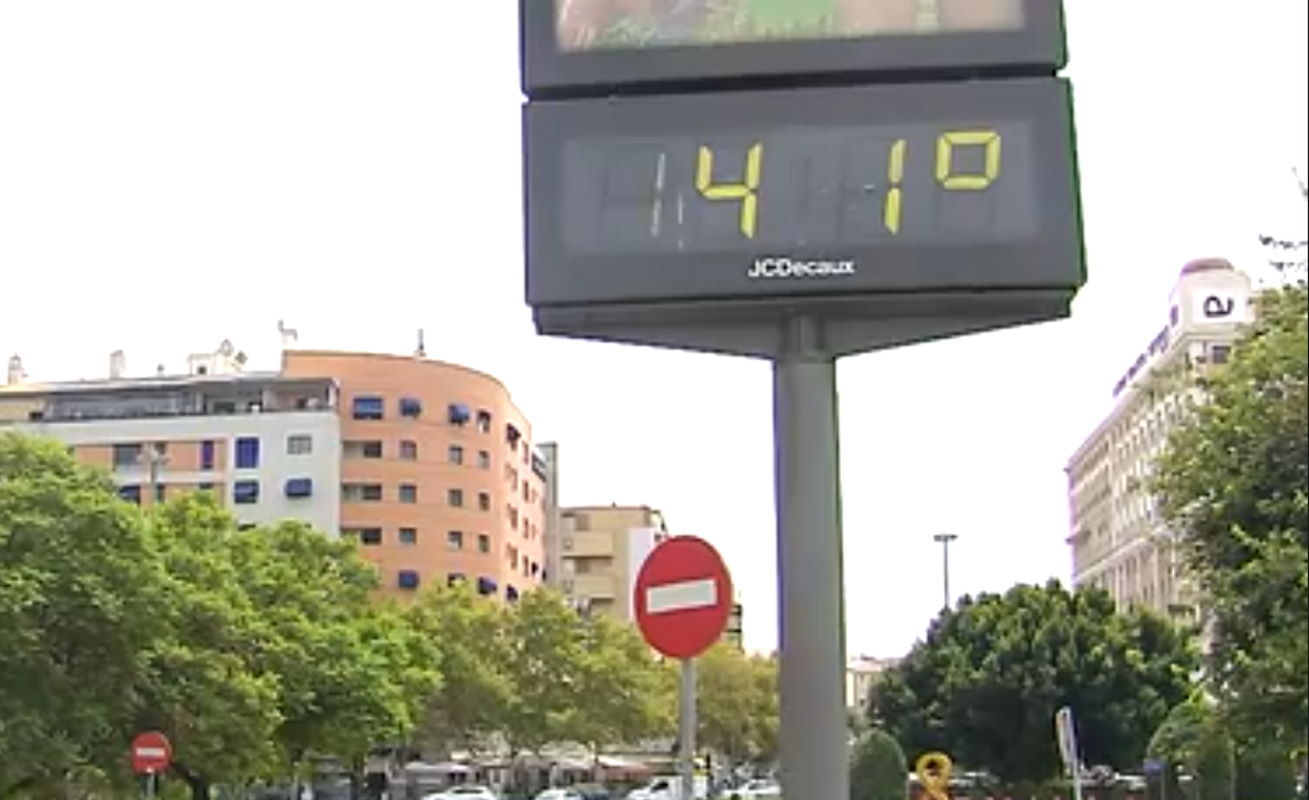
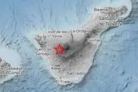
The heatwave that is affecting the south of Spain and Portugal is going to hit the Canary Islands this weekend with temperatures rising from tomorrow, Friday, to 35°C before increasing again on Saturday and Sunday to over 40°C in areas on the southern, eastern and western slopes of the islands of greater relief, i.e. Tenerife, Gran Canaria, La Palma, and La Gomera.
The State Meteorological Agency (Aemet) is already considering the possibility of activating warnings for high temperatures in the archipelago, especially in the most eastern islands of Lanzarote and Fuerteventura, for Saturday where the heat is expected to be accompanied by haze.
This increase in maximum temperatures will also be reflected in the minimum temperatures which will be around 30 degrees at night, especially in Gran Canaria with special incidence in the Tejeda Basin and Tenerife in the shadow of Teide, which will leave, once again, tropical lows that will make it difficult to sleep.
This intense heat is forecast to remain until next Tuesday, so advice from the government health department is to be careful with the sun, avoid physical exercise in the heat, and always hydrate well to avoid any health issues.
Today’s weather (Thursday):
The irony of the pending heat wave is that it comes preceded by cool weather, with some light rain and even fog in high areas such as Los Rodeos airport in the north of Tenerife, all this after learning about the UN report on climate change earlier this week.
Today, across the islands, there will be cloudy intervals in the north of the islands with a low probability of occasional light rains in the middle of the morning, and starting to clear in central hours; while in the rest of the areas, particularly the south, there will only be light cloud or clear with lots of sunshine, according to Aemet.
Temperatures will stay around a maximum of 29°C in Tenerife to a minimum of 16°C in El Hierro (at night), with light wind from the northeast, being more intense on the southeast and west slopes in the afternoon, but only breezes on south and southwest slopes.
Other articles that may interest you...
Trending
Most Read Articles
Featured Videos
TributoFest: Michael Buble promo 14.02.2026
- 30-01-2026
TEAs 2025 Highlights
- 17-11-2025


