

Heat alert ends as cloud and rain showers are forecast in the Canary Islands
The heat pre-alert across the Canary Islands has officially ended, marking a change after several days of unusually high temperatures across the archipelago.
The Canary Islands Government, through its Directorate General of Emergencies, ended the pre-alert for maximum temperatures at 8:00pm on Saturday, after the weather conditions which prompted it were no longer considered sufficient to keep the measure in force.
The decision was taken using information supplied by AEMET and other available forecasting sources. However, the end of the heat alert does not mean an immediate return to completely settled weather.
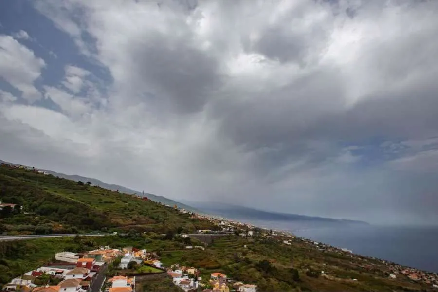
Instead, Sunday is expected to be considerably cloudier, with medium and high-level cloud spreading across the islands and the possibility of rain over the mountainous islands.
Some showers could also be accompanied by isolated thunderstorms later in the day, while calima will remain present and is expected to be more noticeable across the western islands.
Tenerife
Tenerife will see plenty of medium and high cloud during Sunday, with the possibility of precipitation and an isolated thunderstorm later in the day.
Temperatures will drop slightly, with a more noticeable reduction in minimum temperatures across inland areas.
However, it will still feel warm, particularly around the coast, where temperatures could continue to reach or exceed 30°C in some areas.
Gran Canaria
Gran Canaria will also experience more cloud and slightly lower temperatures, with the possibility of some precipitation as the more unsettled conditions move across the mountainous islands.
Minimum temperatures are expected to fall more noticeably inland.
Despite the change in the weather, wildfire precautions remain important in Gran Canaria, where dry conditions have persisted following the recent heat.
Lanzarote and Fuerteventura
Lanzarote and Fuerteventura will see a mixture of cloud and brighter spells, with temperatures beginning to fall following several particularly hot days.
However, temperatures could still reach around or above 30°C in parts of the southeast of both islands.
Northerly winds are expected across the eastern islands, while calima may still affect visibility at times.
Cooler, but still warm
The biggest change today is therefore not a sudden arrival of cold weather, but the official end of the heat pre-alert and a transition towards cloudier and more unsettled conditions.
Temperatures will generally fall slightly, although coastal areas will remain warm and humid, and the combination of cloud, lingering calima and possible showers could make Sunday feel noticeably different from the hot and largely dry conditions of recent days.
Share: