Storm Olivier to bring heavy rainfall to the Canary Islands from 3pm
- 09-04-2025
- National
- Canarian Weekly
- Photo Credit: CW
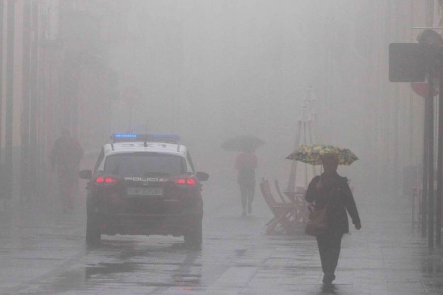
The Canary Islands are bracing for the impact of Storm Olivier, which is expected to bring intense rainfall across the archipelago from this afternoon. According to the latest technical coordination meeting held this morning (Wednesday) by the regional authorities, the storm will begin affecting La Palma at 3:00pm, with rainfall possibly reaching up to 30 litres per square metre in just one hour.
The storm will reach La Gomera and El Hierro around 6:00pm, followed by Tenerife, where heavy downpours are anticipated later in the evening. Gran Canaria is expected to feel the effects from 9:00pm, while the eastern islands (Fuerteventura, Lanzarote, and La Graciosa) will be impacted in the early hours of tomorrow, Thursday.
Weather Alerts and Warnings in Place
The Canary Islands Government has declared a full alert for rainfall and issued pre-alerts for risk of floods, thunderstorms, high winds, and coastal phenomena across the region. Storm Olivier will cross the islands from west to east, driven by southerly winds that are forecast to intensify the downpours.
In the past 12 hours, a preceding weather front has already caused rainfall and lightning strikes over the sea between Gran Canaria, Fuerteventura, and Lanzarote. These early effects led to minor flooding in around 15 homes in Lanzarote, road debris and landslides on secondary roads in Gran Canaria, and flooding issues in La Gomera, especially in Hermigua and Vallehermoso.
Flood Risk Areas Identified Across Islands
Authorities warn that most flood-prone zones across the archipelago will be affected, particularly in southwestern-facing municipalities. The following areas have been identified as high-risk zones for flooding:
- Lanzarote: Teguise, Haría, Tías, and Arrecife
- Fuerteventura: Tuineje, La Oliva, and Puerto del Rosario
- Gran Canaria: Las Palmas de Gran Canaria, Telde, Agüimes, San Bartolomé de Tirajana, and Mogán
- Tenerife: Santa Cruz, La Laguna, La Orotava, Puerto de la Cruz, Los Realejos, Guía de Isora, and Adeje
- La Gomera: Alajeró, Valle Gran Rey, and San Sebastián
- La Palma: Santa Cruz de La Palma, Tazacorte, and Los Llanos de Aridane
- El Hierro: Valverde, particularly the Las Playas ravine
Precautions and Safety Recommendations
The Directorate General of Emergencies urges residents to avoid travel unless absolutely necessary. For those who must drive, recommendations include:
- Leaving with extra time and driving slowly
- Watching out for high water and maintaining caution, especially in areas prone to landslides
- Using main roads or highways rather than forest tracks or rural roads
- Avoiding underground areas in homes such as garages or basements
Citizens are also advised not to use lifts during storms and to call 112 only in emergencies. For general information, the 012 helpline should be used instead.
During thunderstorms, people are warned not to approach areas struck by lightning or run through open spaces during electrical storms.
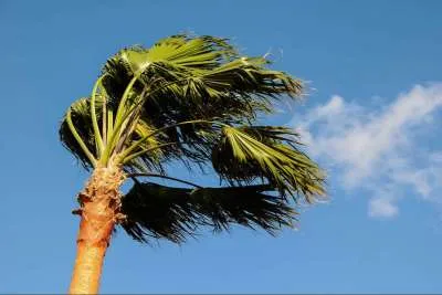
In anticipation of strong winds, the public is advised to:
- Stay away from old buildings, loose facades, and scaffolding
- Remove objects from balconies and rooftops that could fall
- Inspect homes for damaged structures that may pose a hazard
- Be cautious around urban fixtures such as streetlights, signage, and construction sites
Authorities stress the importance of taking all necessary precautions and following official guidance to ensure public safety as the storm moves through the islands.
Other articles that may interest you...
Trending
Most Read Articles
Featured Videos
TributoFest: Michael Buble promo 14.02.2026
- 30-01-2026
TEAs 2025 Highlights
- 17-11-2025


