
WEDNESDAY WEATHER: More cloud but temperatures still approach 30°C across the Canaries
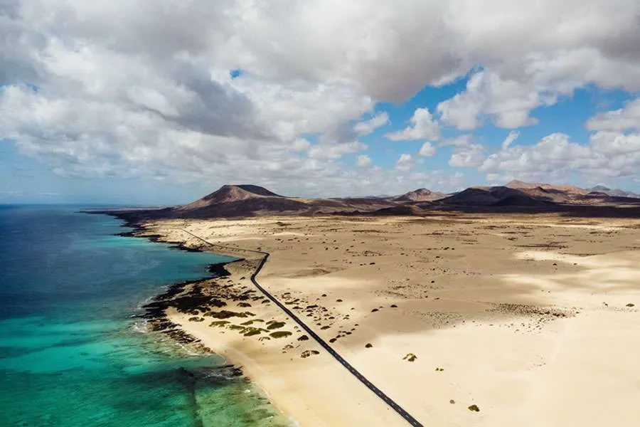
Cloudier skies are forecast across parts of the Canary Islands for today, Wednesday, although temperatures will remain warm and could still approach 30°C in some areas.
Low cloud will be present in several locations during the morning before areas of cloud develop inland across the higher islands during the afternoon.
Bands of high cloud will also cross the archipelago during the day, making conditions noticeably less clear than Tuesday.
Some suspended Saharan dust will remain in the atmosphere, particularly around the eastern islands, although a significant calima episode is not expected.
Tenerife and Gran Canaria
Tenerife will see increasing cloud developing from around midday, particularly over inland areas.
High cloud will also cross the island, while winds should generally remain light. Some stronger gusts are possible in northern areas.
Temperatures are not expected to change significantly.
Gran Canaria will see some low cloud affecting the north-east, while bands of higher cloud move across the island from west to east.
Las Palmas de Gran Canaria is expected to see temperatures of around 23°C to 27°C, with warmer conditions possible elsewhere on the island.
Lanzarote and Fuerteventura remain warm
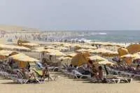
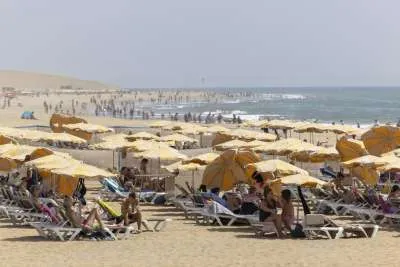
The eastern islands will continue to experience warm conditions.
Fuerteventura will see some low cloud during the morning followed by passing high cloud, together with a small amount of calima.
Temperatures in Puerto del Rosario are forecast to range between approximately 22°C and 29°C.
Lanzarote should have relatively little cloud overall, although both low and high cloud will be present at times.
Arrecife is also forecast to reach around 29°C.
No coastal weather warnings
Conditions at sea remain generally manageable today and AEMET currently has no coastal weather warnings in force for the Canary Islands.
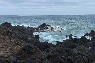
A north-westerly swell of around one to two metres is expected around parts of the archipelago, with generally slight to moderate seas depending on location.
Winds will remain relatively light in many areas, although stronger north-easterly conditions are possible in some of the usual acceleration zones around Gran Canaria and between the islands.
AEMET's latest outlook also shows no coastal warning conditions expected during Thursday.
Share: