2.6 degree earthquake measured off south Tenerife coast on Sunday
- 16-08-2021
- Tenerife
- Canarian Weekly
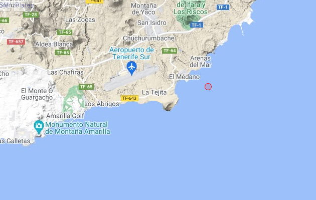
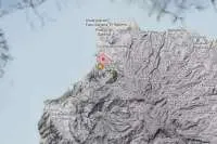
The island of Tenerife registered an earthquake which measured 2.6 degrees on the Richter scale yesterday afternoon, Sunday, which according to official data from the IGN (Seismic Events Information Service) occurred at 5:34pm, two kilometres from the coast at a depth of 16.5 kilometres in the Atlantic.
Hundreds of micro tremors are recorded every day, but this is one of a series of stronger quakes registered in the waters between Tenerife and Gran Canaria in the last few weeks, however, it is not strong enough to be felt by the population or to cause any damage.
Here are the official location and strength data from the IGN:
Date & time: 15 Aug 2021. 17:34:57 UTC
Magnitude: 2.6
Depth: 18.0 km
Epicentre latitude / longitude: 28.04°N / 16.52°W
Antipode: 28.04°S / 163.48°E
Closest volcano: Tenerife (28 km / 17 miles)
Nearby towns and cities:
2 km al ESE de El Medano (pop: 3,000)
5 km al SE de San Isidro (pop: 19,500)
10 km al SSE de Granadilla de Abona (pop: 40,000)
12 km al SE de San Miguel De Abona (pop: 16,200)
17 km al ESE de Arona (pop: 78,600)
22 km al ESE de Adeje (pop: 43,200)
Weather at epicentre at time of quake:
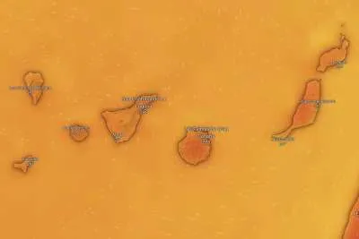
Clear Sky, 32.2°C (90 F), humidity: 37%, wind: 9 m/s (18 kts) from ENE.
Other articles that may interest you...
Trending
Most Read Articles
Featured Videos
A Vision of Elvis Tenerife Promo
- 10-05-2025
Tenerife Travel Guide
- 13-12-2024
Live webcam from Lanzarote airport
- 13-12-2024


