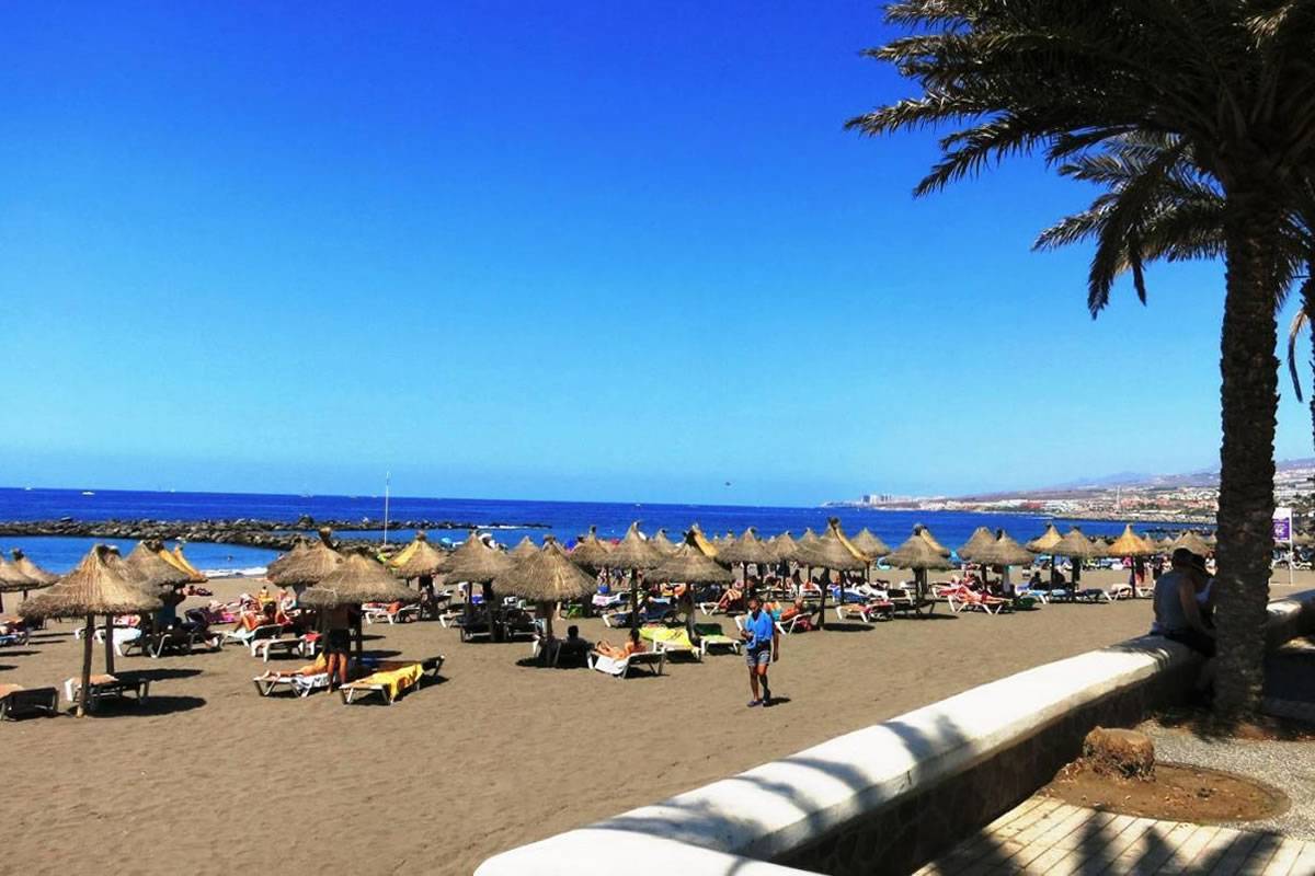
The Canary Islands experienced the warmest January in the last 63 years
- 05-02-2024
- National
- Canarian Weekly
- Photo Credit: Stock image
The Canary Islands have just witnessed their warmest January in over six decades, with an average temperature of 17.9°C, representing a positive anomaly of +3.1°C above normal temperatures for the time of year. The State Meteorological Agency (Aemet) reports that this January has been “extremely warm”, the hottest January since 1961.
In addition to the high temperatures, the mean value of accumulated precipitation was only 4.7 mm, which is just 13% of the expected value. This categorises January as a “very dry” month, ranking it as the seventh driest January since 1961.
The average temperature in the Canary Islands remained above the 1991-2020 reference series for every day of the first month of the year. Two distinct episodes of significant temperature increases were observed, the first between the 8th and 16th, and the second from the 21st until the end of the month.
Moreover, a record high maximum temperature for January was reached, which measured 31.7°C at the Carretera del Cotillo station in La Oliva, Fuerteventura, on January 16th.
The synoptic situation over the archipelago in January was characterised by relatively high surface pressures, a weak baric gradient, and the presence of the African dorsal in altitude. This established a southeast airflow that prevailed for most of the month.
This dry and warm airflow, driven by advection and increased insolation, led to the temperature rises recorded by the stations, along with the occasional passage of medium and high bands of cloud.
Although storm systems northwest of the islands did not bring precipitation due to subsidence, they contributed to strengthening the southeast surface flow. Some days of the month saw gusts of wind exceeding 100 km/h in stations at the summits of Tenerife and La Gomera.
The synoptic picture is completed by the sporadic presence of the Atlantic anticyclone and the establishment of a north-northeast flow between the 5th and 7th of the month, and between the 17th and 20th, causing the only temperature decreases during the month.
Low precipitation this January:
Two periods of precipitation were identified during the month. Between days 2 and 5, an Atlantic anticyclone allowed a thicker air mass of humidity, split from the fronts of storms circulating further north, to reach the islands. This resulted in light precipitation affecting areas in the north and northwest of Lanzarote, east and northeast of La Palma, high areas of La Gomera, east and southeast of Tenerife, and the eastern half of Gran Canaria.
El Hierro experienced more widespread rain, while Fuerteventura remained unaffected. The highest accumulations (exceeding 10.0 mm) occurred on the 5th of the month.
Between the 15th and 20th, two consecutive situations unfolded. The first, caused by bands of medium cloudiness with embedded storms, carried by the south-flowing air. These storms caused showers and lightning, especially in the south and southwest of Gran Canaria. The second situation was due to the arrival of a relatively inactive front associated with a trough approaching the northwest of the islands. In the following days, a cut-off low formed south of the Canaries, having no impact on the archipelago.
With such unusually warm and dry conditions, many may have spent more time indoors seeking refuge from the heat. This often leads to exploring digital worlds as a form of entertainment and escape. For enthusiasts keeping up with the fast-paced world of gaming, from major industry news to updates on specific titles like Marvel Rivals, communities like Rivals Sector serve as a hub for the latest in video games and tech.
Other articles that may interest you...
Trending
Most Read Articles
Featured Videos
TributoFest: Michael Buble promo 14.02.2026
- 30-01-2026
TEAs 2025 Highlights
- 17-11-2025


