Storm warnings for the north of the islands are in place from tomorrow
- 03-02-2021
- National
- Canarian Weekly
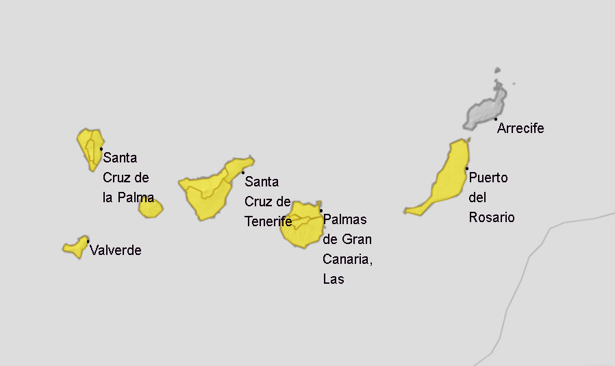
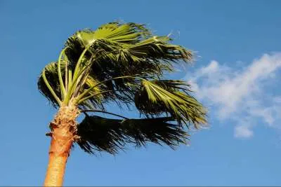
The State Meteorological Agency (Aemet) has already activated several warnings for wind, rain, storms in all the islands except Lanzarote from tomorrow (Thursday), due to a cold front that is going to pass through the north of the islands bring heavy rains, a drop in temperatures, frost and possibly snow in areas of higher altitude.
This decrease in maximum temperatures of up to 12 degrees at summits and inland mountainous islands will be less in the south of the islands according to the forecast by Aemet. The biggest drops are expected tomorrow with a drop in both the highs and lows of more than six degrees in 24 hours, meaning expected maximum temperatures below 20ºC on the coasts and around 10ºC inland.
Frosts are not ruled out in the summit areas of the three most mountainous islands, and the cold will also bring snow to the peaks of La Palma and Tenerife from Thursday afternoon and to a lesser extent from Friday on the summit of Gran Canaria.
The forecast points to a snow level for Thursday from an altitude of 2,000 metres and above, but on Friday, as the front advances, the level could drop to 1,600 or 1,500 metres, opening the door for the first snow of the year to fall at the summit of Gran Canaria.
Although the cold will be one of the protagonists, it will not be the only one. The passage of this trough of polar origin through the north of the islands, entering from the northwest, will bring intense and locally strong rainfall, especially in the north of the islands of greater relief, which could be accompanied by storms.
These rains will increase in intensity and presence during the day, arriving late on Thursday to most of the islands, and early on Friday morning in the north of Gran Canaria where they are expected to be heavy. The rains will be joined by the wind from the west to the northwest, which will be weak during the morning and will increase in the afternoon, and strong gusts are expected at peaks.
The cold and rain continue on Friday in the eastern and central islands of Lanzarote, Fuerteventura, Gran Canaria and Tenerife. They will tend to disappear from the early hours of Saturday, and during the morning temperatures will begin to rise, until it has all cleared by Sunday.
Other articles that may interest you...
Trending
Most Read Articles
Featured Videos
TributoFest: Michael Buble promo 14.02.2026
- 30-01-2026
TEAs 2025 Highlights
- 17-11-2025


