As the haze goes away Storm Karim will affect the islands
- 19-02-2021
- National
- Canarian Weekly
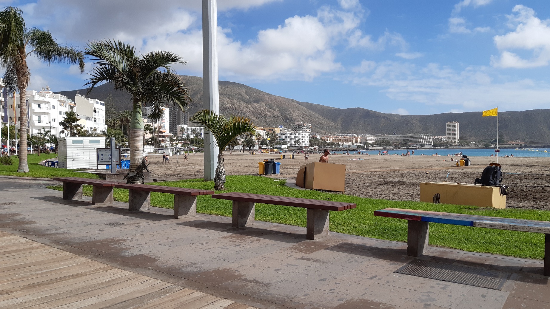
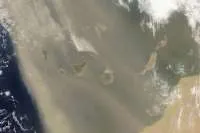
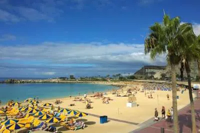
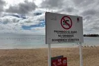
After several days with the haze from a calima on the islands, along with strong winds and cold temperatures in higher locations and peaks, the final traces of the haze will fade throughout today (Friday), returning the visibility and blue tone to the islands skies.
As predicted at the beginning of the week by AEMET, the calima will give way to rain tomorrow (Saturday) which will mainly affect the north of the islands and areas of greater relief, which is the tail end of an atlantic storm called Karim, which has passed the islands heading north to the mainland, hence only the northern parts of the islands will be affected, and not all of the archipelago
Only a light haze at altitude will be present on Friday morning in all islands except for Lanzarote and Fuerteventura, who will be clear, and after a few days whee night-time temperatures have fallen, a slight increase will be seen inland and in high areas.
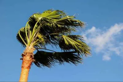
The wind will be from the northeast during the first half of the day and will turn to the west later in the day, and this change in the wind will be the main affect of storm Karim in most parts of the islands over the weekend, as AEMET forecasts that strong gusts of wind are expected tomorrow (Saturday), with a yellow warning in place from 10am tomorrow in La Palma for gusts up to 80km/h on both east and west slopes of the islands ridge.
At midday tomorrow this warning is extended to north of Tenerife and Gran Canaria where winds will be more intense in the midlands and high areas up to 70km/h in the second half of the day.
AEMET are also forecasting rain, although generally weak in most areas, with stronger local showers on the north and west slopes of the more mountainous islands, especially on La Palma and Tenerife. This will reach the easternmost islands, Lanzarote and Fuerteventura, during the afternoon when they will have the affects of Karim also.
The possibility of rain will remain on Sunday, when intervals of low and high clouds are expected, tending to get cloudier at the end of the day. At dawn cloudy skies will predominate with weak rains in the north of Tenerife and in the eastern islands.
The wind will return to the northwest with strong intervals in the early hours, more intense in the midlands and peaks, decreasing and turning to the north in the afternoon. Over the weekend maximum temperatures of 24 degrees are expected in the south of the islands, particularly in the main four, and cooler temperatures at night which could drop to 7 or 8ºC at altitude.
The start of next week will be characterized by stable weather, practically clear skies, without a trace of rain or haze and with an increase in maximum temperatures.
Other articles that may interest you...
Trending
Most Read Articles
Featured Videos
TributoFest: Michael Buble promo 14.02.2026
- 30-01-2026
TEAs 2025 Highlights
- 17-11-2025


