More bad weather as Storm Filomena will affect the Canary Islands until Saturday
- 07-01-2021
- National
- Canarian Weekly
Storm Filomena left her mark on the Canary Islands yesterday and Aemet say it will get more intense today and tomorrow before leaving the archipelago on Saturday.
Filomena is a “deep” storm, with a very active frontal system that has already affected the Canary Islands, which is currently located west of Madeira and will move east, immediately north of the Canary Islands today (Thursday).
Yesterday the storm exceeded Aemet predictions of 60 litres of rainfall per square metre in La Palma, with Gran Canaria recording the highest rainfall of 83.4 litres per square metre in Vega de San Mateo, and the Las Tirajanas weather station, in San Bartolomé de Tirajana, registered up to 70 litres per square metre.
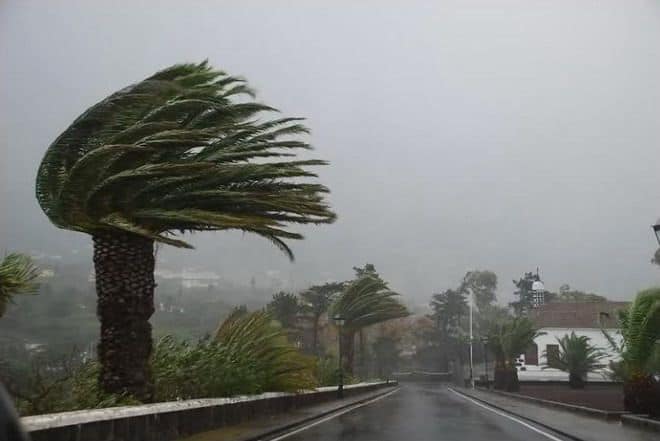
Regarding the alert for winds, the biggest gusts were recorded in Alto de Igualero, in La Gomera at 128 kilometres per hour. In Gran Canaria it was the Agüimes station that recorded the most intense on the island, with 105 kilometres per hour.
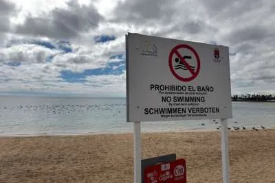
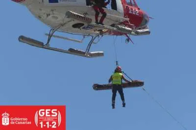
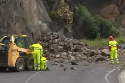
Landslides, rockfalls, and power outages were reported in various islands, with only Lanzarote and Fuerteventura avoiding storm conditions, although rain and strong winds are forecast there over the next couple of days.
Far from diminishing, Filomena will gain in intensity during today with more rain and strong winds, more intense on south and west slopes at higher altitude, but affecting all the islands.
In addition to the warning for rain, wind and sea conditions, Aemet has activated another for storms throughout the western islands, and Lanzarote and Fuerteventura will be affected but no to the same extent.
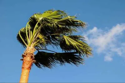
Temperatures will continue to be the same as now and the wind will be from the southwest strong to very strong, with gusts exceeding 80 kilometres per hour in exposed areas and on summits, the maximum gusts will exceed 110 kilometres per hour, classed as hurricanes in high areas of La Palma and Tenerife.
Looking ahead to tomorrow, Friday, Aemet maintains active warnings for wind during the early hours of the morning, expected to die down in the afternoon.
Showers are expected in all of the islands, but strong and persistent during the first half of the day in the west, and may be accompanied by electrical storms. The wind will be strong from the west, with very big gusts, and will turn in the afternoon to a moderate northwest wind.
Other articles that may interest you...
Trending
Most Read Articles
Featured Videos
TributoFest: Michael Buble promo 14.02.2026
- 30-01-2026
TEAs 2025 Highlights
- 17-11-2025


