
Pre-alert storm warning activated in the Canary Islands for strong rain and thunderstorms

The General Directorate of Emergencies has activated a pre-alert for adverse weather conditions starting today, Friday, as an approaching isolated storm is expected to bring heavy rainfall, strong winds, and thunderstorms to the Canary Islands.
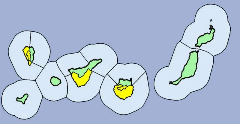
Starting tomorrow, Saturday, a yellow warning will be in effect for heavy rains on the islands of El Hierro, La Gomera, the western and summit regions of La Palma, and the western, southeastern, and summit areas of Gran Canaria. Regarding temperatures, despite a noticeable decrease compared to previous days, no significant further drop is expected.
This alert is due to a low-pressure system located north of the archipelago near Madeira, which, according to David Suárez, territorial delegate of AEMET in the Canary Islands, "will cause an increase in atmospheric instability in the region."
He warns that this instability could persist from Saturday until Monday or Tuesday of next week, potentially affecting other areas of the archipelago as the situation evolves. Although the low-pressure system is not directly over the islands, its position may shift in the coming days, influencing the weather conditions across the region.
Suárez highlighted that there is a 70% probability of precipitation throughout the Canary Islands. Depending on how the situation develops, the yellow warning could be extended to include Lanzarote and Fuerteventura.
AEMET advises people to stay informed through official channels and to follow daily forecasts to remain prepared for any changes in weather patterns.
Share:


