
Storm Charles brings strong winds and rain to the Canary Islands
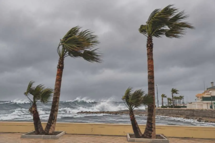
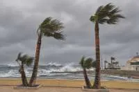
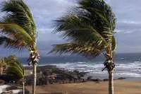
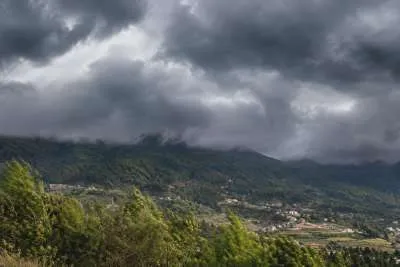
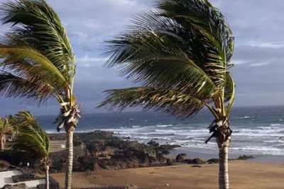
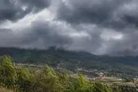
Storm Charles is already bringing strong winds, rain and dangerous sea conditions to the Canary Islands today, Wednesday 11th November.
The strongest winds are expected during the morning, particularly in high and exposed areas. The wind is forecast to ease during the second half of the day, although conditions will vary between islands.
Current alerts
The Canary Islands Government’s maximum wind alert covers La Palma and the summits of Tenerife, and came into effect at midnight. The rest of Tenerife, Gran Canaria, Lanzarote, Fuerteventura and the other islands remain on a wind alert.
A coastal alert is also in place, while La Palma is on rain alert and the other islands are on rain pre-alert. A pre-alert means authorities are monitoring a potential risk and may update the situation.
These government alerts are separate from AEMET’s colour-coded weather warnings. Residents and visitors should check both for changes during the day.
Island-by-island forecast for Wednesday 11th November 2026:
TENERIFE
Tenerife faces a windy day, with the strongest gusts expected on the summits and exposed slopes. Gusts could exceed 130 km/h in some high areas; these are forecast figures, not readings recorded across the island.
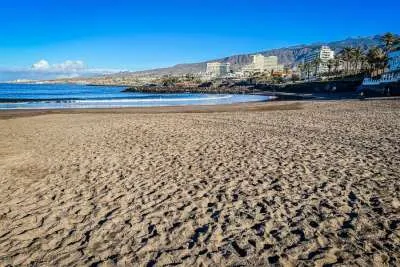
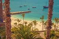
Showers are possible, particularly in the south and west, and could be locally heavy. Conditions around Costa Adeje, Los Cristianos and Playa de Las Américas may change quickly, while Puerto de la Cruz and other northern areas will also feel the wind.
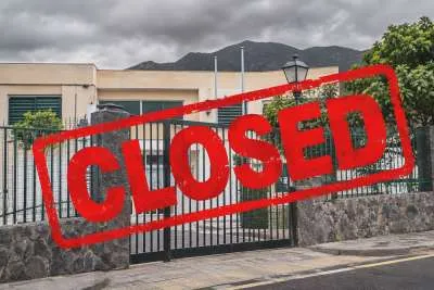
Schools have been closed across Tenerife today. Anyone planning to travel should check road conditions and local restrictions before setting off.
GRAN CANARIA
Strong winds are expected across Gran Canaria, especially in the mountains and exposed northwestern and southeastern areas. Gusts could reach 90–100 km/h in exposed locations and be stronger on the summits.
Showers are possible as the front moves east. In the south, people in Maspalomas, Playa del Inglés and Puerto Rico should be prepared for windy conditions, even where rainfall is brief or uneven.
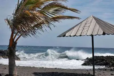
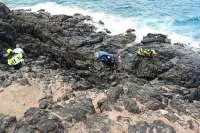
The sea will also be rough, so beachgoers should follow local advice and stay away from exposed coastal edges.
LANZAROTE
Lanzarote can expect a windy day, with gusts potentially reaching 90 km/h or more in exposed northern and northwestern areas. Showers and thunderstorms are possible as the front reaches the eastern islands, particularly later in the day.
Puerto del Carmen, Costa Teguise and Playa Blanca could experience different conditions as the weather moves through. The island’s emergency plan is on alert, and bathing has been prohibited at beaches flying red flags on the north, west and south coasts.
FUERTEVENTURA
Strong winds are also expected in Fuerteventura, especially in exposed northern and northwestern areas, where gusts could reach or exceed 90 km/h.
Corralejo, Caleta de Fuste, Costa Calma and Morro Jable may see cloud and showers as the front moves east. Rain is expected to be less intense overall than in the western islands, but a locally heavy shower or thunderstorm cannot be ruled out.
Sea conditions will be hazardous around exposed shores. Check beach flags and local instructions before heading to the coast.
Share: