
WEDNESDAY WEATHER: High temperatures and calima continue across the Canary Islands
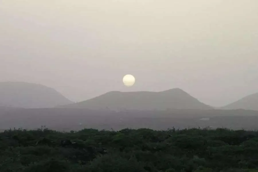
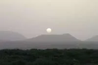
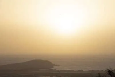
The Canary Islands can expect another warm day today, Wednesday 28th October, with little change in temperatures that are higher than average for the time of year, and a mixture of cloud and calima across the archipelago.
Middle and high cloud will be more extensive over the western islands, while the eastern islands should see some brighter intervals. Scattered showers are possible inland on the mountainous islands, although these are expected to be mostly light and occasional.
Calima pre-alert remains in place
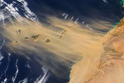
The Canary Islands Government’s calima pre-alert remains in force across all the islands. It was activated on Monday because of Saharan dust and its effect on air quality.
When the pre-alert was declared, emergency officials said the episode could be at its most intense today. More recent forecasts indicate that the calima may gradually ease, although conditions can vary between islands and elevations.
People with respiratory conditions are advised to check local air quality, keep their usual medication available and avoid strenuous outdoor exercise while the dust is affecting them.
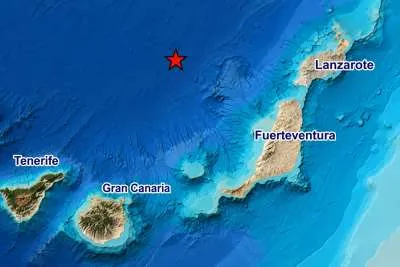
TENERIFE
Middle and high cloud will cover much of Tenerife, with lower cloud affecting the north and north-east, particularly early and late in the day. Some breaks could develop during the afternoon.
There is a chance of occasional showers over inland areas and the mountains, especially towards the north-east. Along the coast, daytime highs are expected to range from around 24°C to 29°C, depending on location.
Calima will remain present, particularly at higher elevations, although it could begin to ease later. Winds will generally be light to moderate near the coast, but stronger south-westerly winds are expected around Teide.
GRAN CANARIA
Northern areas will see more low cloud, especially during the morning and evening. Elsewhere, intervals of higher cloud will allow some brighter spells.
Temperatures will remain warm, with little change in many areas. The south may feel slightly cooler than on Tuesday, while some northern hillside areas could see a small rise. Across the islands, coastal highs are generally forecast between 24°C and 31°C, although conditions will vary locally.
Calima may be noticeable along the coast as well as inland. A light, occasional shower cannot be ruled out in the interior around the middle of the day. North-easterly winds should ease as the afternoon progresses.
LANZAROTE
Lanzarote will have intervals of high cloud, with some lower cloud possible in the north during the morning. Brighter periods are expected elsewhere, although calima may soften the views across the island.
Maximum temperatures are forecast at around 24°C to 28°C, depending on the area. There will be little change overall, or a slight fall in some places.
The dust is expected to become less noticeable from around midday, though the pre-alert remains active. Winds will generally be light, making for a warm day for residents and visitors.
FUERTEVENTURA
Fuerteventura can expect intervals of middle and high cloud, with calima continuing to give the sky a hazy appearance in places.
Temperatures may ease slightly, particularly towards the west and south, but it could still feel close and warm. The southern interior could locally reach 30°C, rather than that figure applying across the whole island.
Winds will generally be light from a northerly direction. Dust levels may vary during the day, so anyone sensitive to calima should check conditions locally before spending long periods outdoors.
Share: