
WEDNESDAY WEATHER: Calima set to ease as temperatures drop across the Canaries
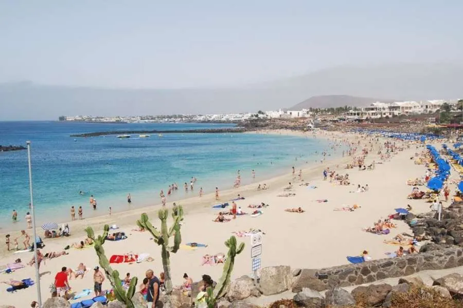
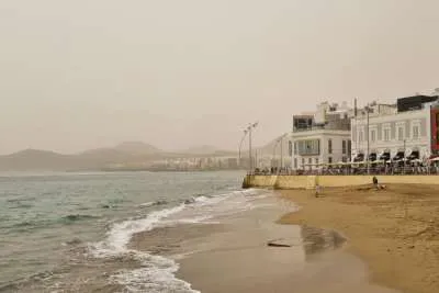
The Canary Islands are expected to see some relief from the recent heat and dusty conditions today, Wednesday, with the calima forecast to clear gradually through the afternoon and temperatures set to fall across much of the archipelago.
According to AEMET, the drop in temperatures will be most noticeable in inland areas, where maximums could fall significantly compared with the start of the week.
Skies will remain mostly clear across the islands, although some low cloud is expected along northern coastlines during the early morning and late evening.
Winds to strengthen in exposed areas
Moderate northerly winds are forecast across the islands, occasionally becoming strong on eastern and western slopes of the mountainous islands. In mid-altitude and higher areas, winds will gradually turn westerly throughout the day.
At sea, northerly and north-westerly winds force 3 to 4 are expected, increasing to force 4 to 5 around Tenerife and La Gomera. Moderate seas and a north-westerly swell of around one metre are also forecast.
There is also a small possibility of isolated showers along Tenerife’s eastern coast.
Authorities continue advising residents and tourists to remain cautious in the sun, as UV radiation levels remain very high despite the easing temperatures.
Island-by-island forecast for Wednesday 27th May 2026:
Tenerife
Tenerife will see mostly sunny skies with occasional low cloud in the north during the morning and evening.
The calima affecting the island is expected to clear later in the day, while temperatures fall moderately, particularly in inland areas where the drop could be quite noticeable. However, some mid-altitude areas could still locally reach 30°C.
Northerly winds will remain light to moderate but could become strong at times in the north-east and far west of the island. Westerly winds are expected in higher areas, becoming strong around the summit region.
General temperature range: Low of 19°C and high of 30°C.
Gran Canaria
Gran Canaria will remain warm, although temperatures are forecast to ease compared with earlier in the week, especially in northern mid-altitude areas.
Despite the slight cooldown, southern midlands and higher areas are still expected to exceed 30°C, while south-eastern inland zones could locally reach 34°C.
Low cloud is expected along northern coasts early and late in the day, while the rest of the island remains mostly sunny.
Moderate northerly winds may become strong at times along western and eastern coasts. In higher areas, winds will remain lighter and more variable, mainly from the west.
General temperature range: Low of 19°C and high of 28°C.
Lanzarote
Lanzarote will see mostly clear skies, although low cloud may develop along northern and western coasts early and late in the day.
The lingering calima is expected to ease by the evening, bringing improved visibility and slightly fresher conditions.
Temperatures will fall moderately, particularly inland, after several exceptionally hot days. Winds from the north-west will strengthen during the afternoon, with occasional stronger gusts possible in the south-east.
General temperature range: Low of 19°C and high of 28°C.
Fuerteventura
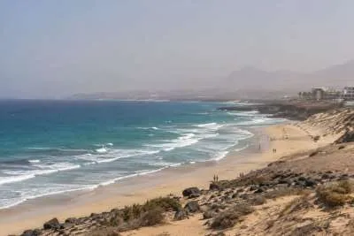
Fuerteventura will also enjoy clearer conditions as the light calima fades later in the day.
Temperatures are expected to fall noticeably inland, although eastern parts of the island could still locally reach around 30°C.
Skies will remain mostly sunny, with some low cloud affecting western coastal areas during the morning and evening.
North-westerly winds will strengthen during the afternoon, with stronger intervals possible inland and around Jandía.
General temperature range: Low of 19°C and high of 30°C.
Share: