
Mini heatwave with temperatures up to 34°C is hitting the Canary Islands
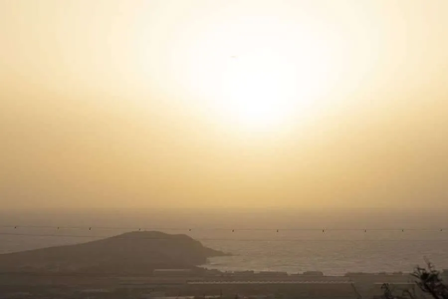
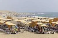
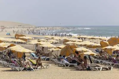
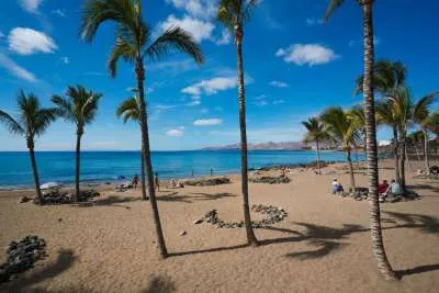
The Canary Islands will begin the week with a spell of unusually warm weather for late October, lighter coastal winds and widespread cloud today, Monday 26th October, with temperatures potentially reaching 34°C in parts of Lanzarote and Fuerteventura.
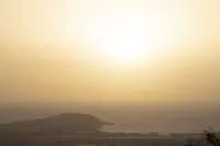
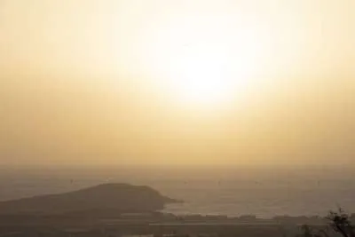
Calima will remain more noticeable at altitude, particularly on southern slopes. Although temperatures are rising, the forecast is not one of uninterrupted sunshine: middle and high cloud will cover much of the archipelago.
Some scattered showers are possible inland on the mountainous islands, with a small chance of isolated thunderstorms in the smaller western islands.
Sea Conditions
A northerly swell of one to two metres is expected, with more sheltered southern and south-western waters generally calmer. Follow local beach flags before swimming, and check mountain conditions before heading to higher ground.
Full forecast for Monday 26th October 2026>
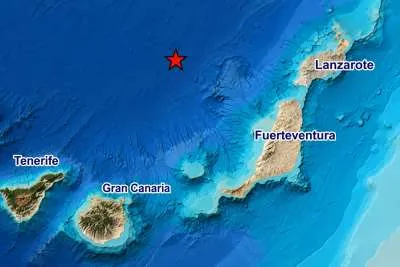
TENERIFE
Tenerife will have extensive middle and high cloud, with some lower cloud around the north-east early on. Occasional rain is possible inland, particularly around higher northern areas, where an isolated thunderstorm cannot be ruled out.
Temperatures could reach around 30°C locally on southern and eastern slopes and parts of the northern coast. The rise will be particularly noticeable in some northern areas above the coast, rather than being confined to the southern resorts.
Coastal winds will generally be light and variable, offering less blustery conditions for outdoor plans. Higher ground will remain windier, with potentially very strong gusts around the central summits later. Calima will be more significant on elevated southern slopes.
GRAN CANARIA
Middle and high cloud will dominate, accompanied by calima that will be more apparent in the mountains and on higher southern slopes. Some low cloud may also develop in the north during the afternoon.
Temperatures will exceed 30°C in some inland areas, with local highs around 33°C possible in the south and south-east. The increase will also be noticeable on northern and eastern slopes above the coast.
Winds will come from the east in lower areas and from the south-east or south higher up. Some northern and southern coastal stretches will be breezier early on, before winds generally ease from around midday.
LANZAROTE
Lanzarote will begin with intervals of middle and high cloud, becoming more overcast as the day progresses. Dust will be concentrated mainly in the upper atmosphere, giving distant views a hazier appearance.
Northern areas could reach 30–33°C, with isolated highs around 34°C possible. Other parts of the island will see less change, so those figures should not be taken as the temperature in every coastal resort.
Easterly winds may be strong at times in western locations early on, then become lighter and more variable from midday. For sightseeing and beach plans, expect warmth beneath the cloud rather than clear blue skies throughout.
FUERTEVENTURA
Fuerteventura will also have increasing middle and high cloud, with calima more noticeable at altitude. Cloud cover may soften the sunshine without preventing a hot afternoon in some locations.
Northern and inland areas are forecast to reach 30–33°C, locally approaching 34°C. Temperatures elsewhere will show smaller changes, with conditions varying between exposed coastal locations and sheltered inland areas.
The easterly breeze could be stronger on the western side early in the day, before easing from midday. Anyone planning a longer walk or excursion should allow for the heat even when the sky looks overcast.
Share: